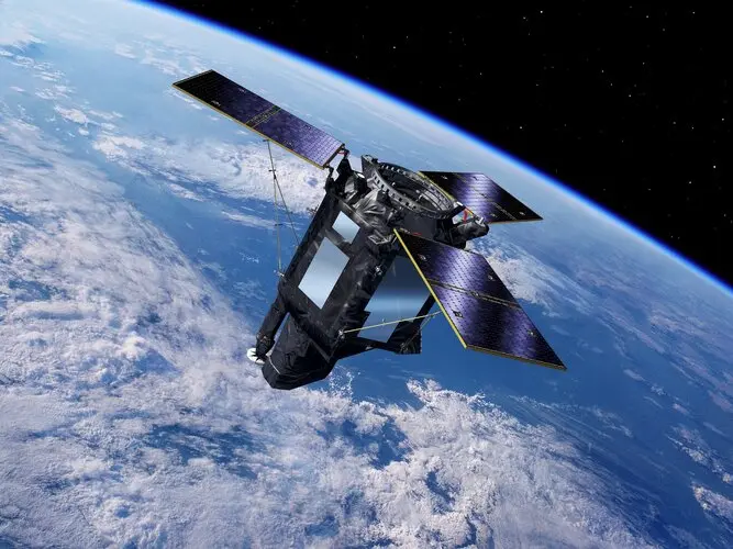
Empowering Earth Observation Through Innovative Software Solutions
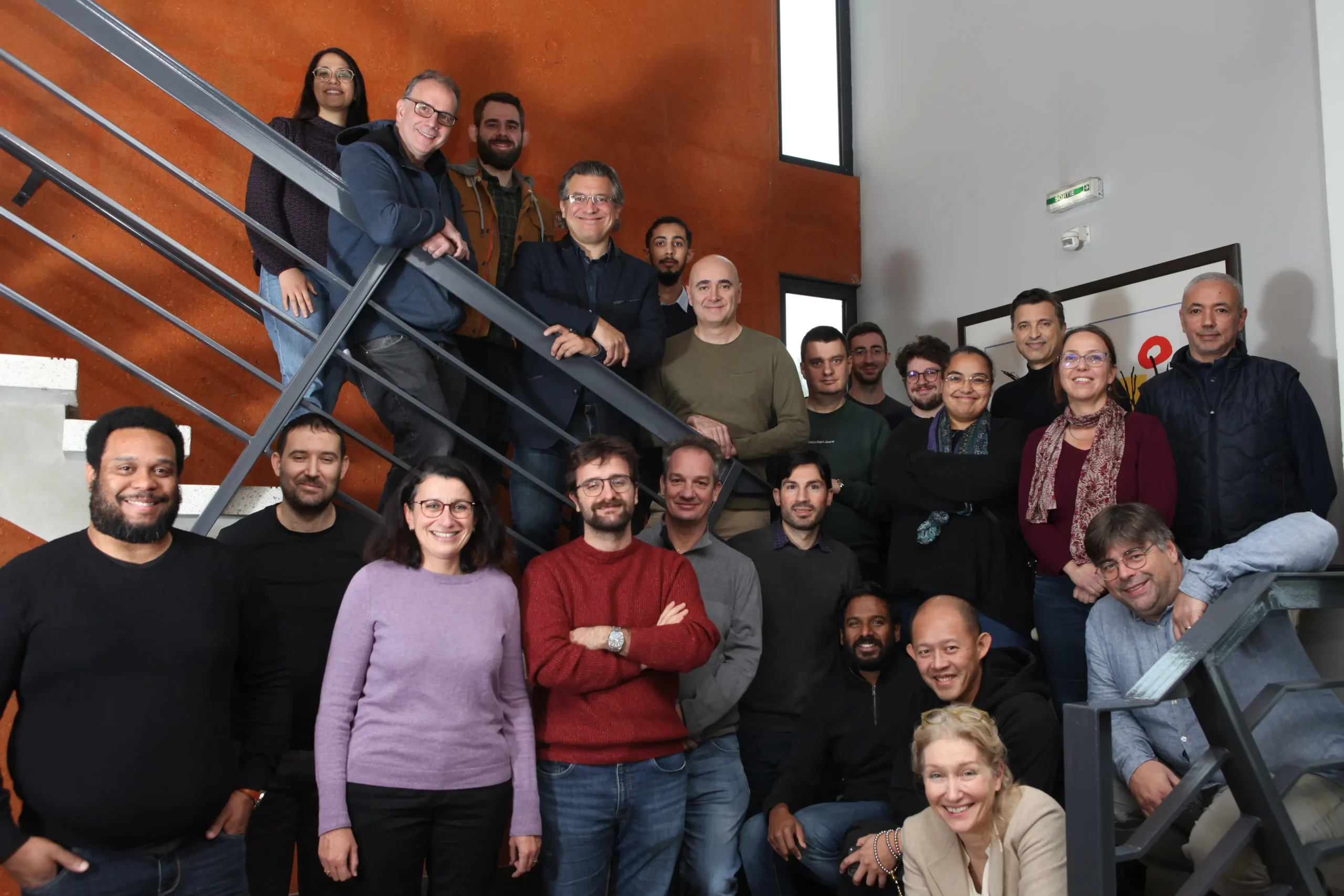
We are a team of experts, engineers and PhDs committed to innovating solutions. With our software expertise, we transform Earth observation data into actionable strategies.
In the 90’s GAEL Systems developed Earth Observation Applications in image processing especially and acquired know-how in orthorectification, photo-interpretation, geomorphology, petroleum, etc. Then, we figured out a software solution that is data agnostic to access data seamlessly. The Data Request Broker (DRB) was born. Today, this the basis of multiple data agnostic solutions, including more than 48 missions & 1000 formats. Since then, other solutions have arisen. Together with the cloud computing growth, we have developed multiple EO data platforms and services. Our next challenge is to contribute to the Earth Digital Twins projects.
Our mission
GAEL Systems excels in three core domains: remote sensing, software development and validation, and cloud computing. Our comprehensive expertise in these areas enables us to deliver tailored solutions.
We are committed to providing a range of solutions tailored to our clients’ specific needs, integrating our expertise in remote sensing, software development and cloud computing.
In a fast-moving IT environment, we strive to offer cutting-edge technologies that meet market requirements.
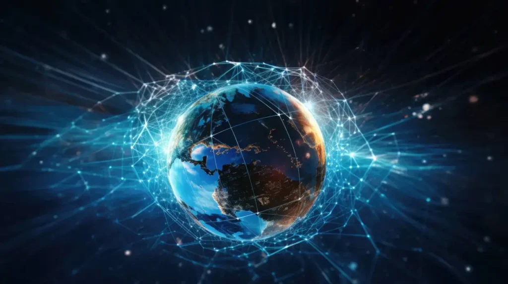
Wherever our customers are in the world, we are committed to serving a global clientele and providing quality support and solutions.
Our journey
1990
Telimago
Image processing software suite, orthorectification, mosaics, mapping, multi-temporal synthesis, multi-sensor fusion, change detection and geomorphology.
Visual
Spot CD
Frame
Interp
TimPrj
LiveLink
Mapper
Quiss
GeoRef
tEdProdt
2002 to 2022
DRB Java
Open-Source middleware for heterogeneous Data Access, optimized exploration and extraction.
Derby
Amalfi
OLQC
WindMap
Exagon
TDG
XFDU
Safe
EWFS
DHus
GSS
DRS
ENS
ENS 2.0
Trace
2021
DRB Python
STAC
S5P Plot
ERA5
2024
DeltaTwin® & SesamEO®
DeltaTwin® and SesamEO®, two services available on the DestinE platform, a flagship initiative of the European Commission to develop a highly accurate digital model of the Earth to monitor and simulate natural phenomena, hazards and the related human activities.
DeltaTwin® provides a collaborative toolbox for building and sharing your digital twin components.
SesamEO® makes data from different sources (Copernicus, Statistics, Atmosphere or Climate) accessible via themes and collections from the catalogs.